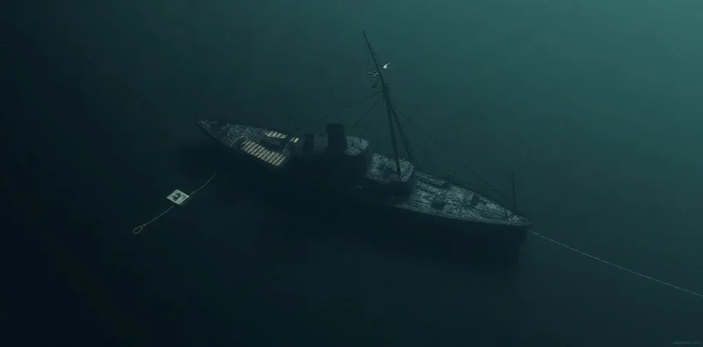
Underwater archaeology by braille: Survey methodology and site characterization modeling in a blackwater environment – A study of a scuttled confederate ironclad, CSS Georgia is a 1992 symposium proceedings paper by Anuskiewicz RJ and Garrison EG. It addresses survey methods and site characterization at a submerged ironclad in a blackwater environment—a setting where limited visibility makes reliable documentation especially important.
What does underwater archaeology by touch involve?
Underwater archaeological survey seeks to describe a submerged site systematically: its features, relationships and condition. When visibility is poor, divers may have to rely less on sight and more on touch, disciplined movement, measuring tools and records made during or after the dive.
“By braille” evokes tactile inspection, not a substitute for methodical documentation. Touch can help a diver recognize shapes and surface changes, but it cannot alone establish an object’s identity or position. Survey design and cross-checking are essential to turn individual observations into a coherent site record.
Characterization modeling is the broader task of organizing observations into a representation of the site. In underwater archaeology, this can mean relating measured features to one another so that the wreck is understood as a spatial arrangement rather than a collection of isolated objects.
Why does a blackwater setting change the survey?
Blackwater describes an environment in which water conditions can severely limit visibility. A diver may be unable to maintain visual contact with nearby features or use familiar visual cues for orientation. Survey work therefore needs procedures that remain dependable when seeing the site is difficult.
Low visibility affects both archaeology and dive operations. Close contact with wreck material can help a diver follow a feature, yet it also raises the need to control movement, maintain orientation and avoid disturbing fragile or historically significant surfaces. The work must balance information-gathering with careful interaction with the site.
- Orientation: keeping track of position and direction when visual references are weak.
- Tactile observation: recognizing features through controlled contact rather than exploratory handling.
- Measurement and recording: connecting observations to a repeatable spatial framework.
- Site protection: minimizing disturbance while working close to archaeological material.
What does this subject mean for scientific divers?
Scientific divers often work where the research task shapes the dive: attention is divided between monitoring the environment, following a survey procedure and managing the demands of immersion. Poor visibility adds an orientation challenge and can make communication and team coordination more demanding.
These are operational considerations, not a claim that a particular hazard occurred at the CSS Georgia. As in other scientific diving, task planning should account for conditions, equipment, diver workload and the need to end the work safely if the survey cannot be carried out as intended.
Underwater archaeology also places a premium on preserving context. Moving an object or disturbing its surroundings can erase information about where it lay and how it related to the wreck. Careful documentation is therefore relevant not only to the historical record but also to the way divers interact with a site.
How does the paper fit into diving research?
The paper sits at the intersection of underwater archaeology, survey methodology and scientific diving. Its subject is not decompression treatment or a clinical intervention; rather, it concerns how divers can gather and organize information underwater when visual survey is constrained.
That question connects to wider diving-science concerns: how environmental conditions affect task performance, how observations can be made reproducible, and how a dive plan supports both research objectives and diver safety. Site characterization also links field observations to later interpretation, conservation and future study.
Its venue was the Proceedings of the American Academy of Underwater Sciences Twelfth Annual Scientific Diving Symposium, “Diving for Science 1992,” held September 24–27, 1992, at the University of North Carolina at Wilmington in Wilmington, North Carolina. The proceedings format places the work within a scientific-diving meeting concerned with research conducted underwater.
Frequently asked questions
What is the CSS Georgia paper about?
Why use touch during a low-visibility survey?
Does this paper concern diving medicine?
Citation details
- Title: Underwater archaeology by braille: Survey methodology and site characterization modeling in a blackwater environment – A study of a scuttled confederate ironclad, CSS Georgia
- Authors: Anuskiewicz RJ; Garrison EG
- Year: 1992
- Published in: In: Cahoon, LB. (ed.) Proceedings of the American Academy of Underwater Sciences Twelfth Annual Scientific Diving Symposium "Diving for Science 1992". Held September 24–27, 1992 at the University of North Carolina at Wilmington, Wilmington, NC
- Record type: Symposium proceedings paper
- Repository record: Rubicon Research Repository, handle 123456789/9029
This page is an original summary written by the Rubicon editors from the publication’s bibliographic record. It does not reproduce the paper, its abstract or its data; consult the publication itself for its methods and findings.
Related reading on Rubicon
- Dive Computers: Choose the Right Model for Your Diving
- Why Divers Get Cold Faster Underwater
- Diving Safety: Key Insights into Underwater Exploration
- Diving: Exploring Underwater Activities, Science, and Safety
- Hydrodynamic Drag in Underwater Swimming
- Divers and Underwater Sound at 800–2250 Hz
- More on Diving Science
- Browse the Research Library