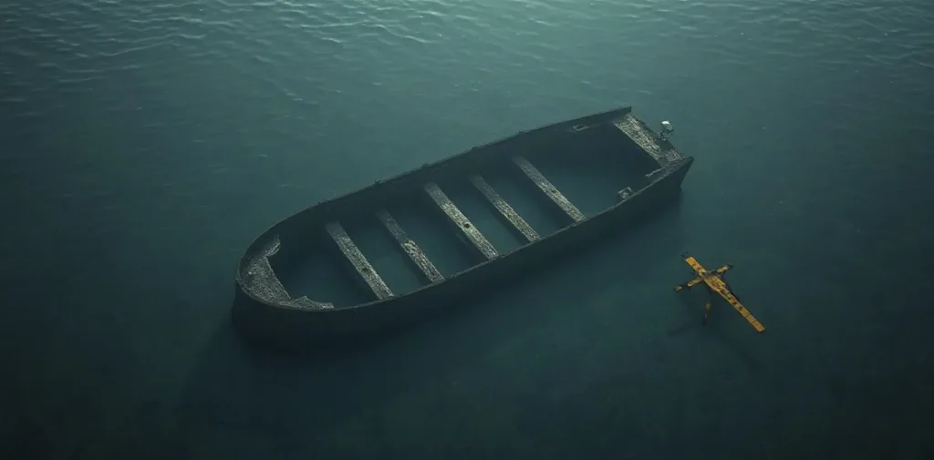
Underwater archaeological survey in blackwater asks how divers can map and characterize a submerged site when suspended material restricts visibility. Tactile observation, systematic recording and site models turn a difficult-to-see wreck into usable evidence, while making the diver’s working conditions part of the research problem.
What does a tactile survey record?
A diver working by touch must build a picture of the site through deliberate contact and orientation rather than relying on a clear view. The task is not simply to locate an object: it is to record where features lie in relation to one another and distinguish an observed structure from an interpretation.
Survey methods can organize observations around a reference point, measured lines and repeatable routes. A site model then brings those records together, helping researchers describe the extent and arrangement of remains and identify questions that require further examination. The method matters because unstructured contact can disturb fragile material or leave observations difficult to compare.
Why does blackwater change the work?
Blackwater describes underwater conditions in which visibility is severely reduced, whether through darkness, suspended sediment or both. In a river setting, visibility can change over short distances and may remain poor even when a diver is close to an object. A visual survey that works in clear water may therefore be unreliable or impractical.
Touch can provide information unavailable to the eye, but it is not a complete substitute for vision. A diver may identify edges, surfaces and relative positions while still being unable to judge an object’s full shape or condition. Surveyors must also control contact: archaeological remains can be vulnerable, and a diver’s movement may stir sediment and make the site harder to assess.
How does a site model support interpretation?
Mapping and characterization are related but distinct. Mapping establishes the spatial arrangement of features; characterization describes what those features appear to be and how confidently they can be identified. Keeping the two tasks separate helps prevent a tentative tactile impression from becoming an unsupported claim on a plan.
A useful model makes the survey process legible to other researchers. It can show recorded features, their relationships and areas where observation is incomplete. In archaeology, that record supports later comparison and helps direct future work without treating a single dive as a full account of a site.
- Reference: a consistent point or line from which observations can be located.
- Position: the recorded relationship between a feature and other parts of the site.
- Characterization: a description of a feature, with uncertainty kept distinct from direct observation.
- Repeatability: a procedure another team can understand and apply during later survey.
What does this demand of scientific divers?
Low-visibility survey depends on disciplined teamwork, clear task allocation and reliable communication. Divers need to know the survey pattern, how observations will be recorded and how to avoid losing orientation. The work also calls for careful control of buoyancy and finning, since contact with the bottom can disturb sediment and damage or obscure archaeological evidence.
These are operational concerns as well as archaeological ones. A task that requires prolonged concentration, fine movement or repeated contact with a site can affect workload and situational awareness underwater. Scientific divers must plan the dive around the environment and the work, with suitable procedures for communication, navigation and ending the task if control is lost.
Why should diving medicine readers care?
Archaeological survey is not itself a medical discipline, but its conditions connect directly to diving physiology and safety. Restricted visibility can increase mental workload and make orientation more demanding; cold, exertion and equipment constraints may add further stress. These factors matter when a scientific dive is designed, supervised and reviewed.
For diving physicians and hyperbaric clinicians, the broader lesson is that the task and environment shape exposure and risk. Medical fitness does not replace operational planning, and a technically successful survey is not a reason to extend a dive beyond its safe limits. Anyone with a health concern relevant to diving should discuss it with a diving-medicine physician.
Frequently asked questions
What does “underwater archaeology by touch” mean?
Can touch alone produce a complete site map?
What is the main safety concern in a low-visibility survey?
An original research-library explainer written by the Rubicon editors. It is not a summary of a specific publication.
Related reading on Rubicon
- The Diving Reflex: What Happens Underwater
- Why Divers Get Cold Faster Underwater
- Diving Safety: Key Insights into Underwater Exploration
- Diving: Exploring Underwater Activities, Science, and Safety
- CSS Georgia: Blackwater Underwater Archaeology
- Underwater Archaeology and the H.L. Hunley
- More on Diving Science
- Browse the Research Library